Restorying Indigenous Cultural Landscapes in National Parks
Collaborative work between the Hul’qumi’num Treaty Group Parks Committee, Parks Canada, and UVic Anthropology’s Ethnographic Mapping Lab to reveal indigenous histories of places like Prevost Island.
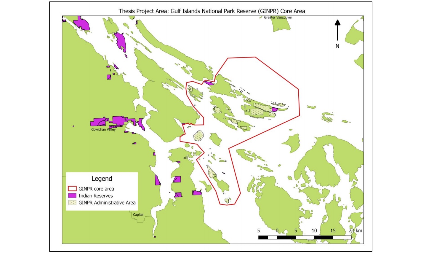
Thesis Project Area - Gulf Islands National Park Reserve (GINPR) Core Area
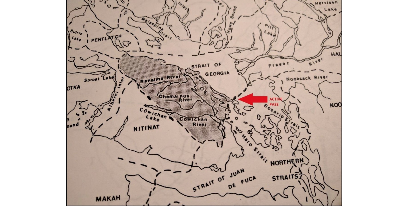
The Traditional Territory of the Island Halkomelem Coast Salish (Shaded) according to David Rozen (1985, 315; Map III)
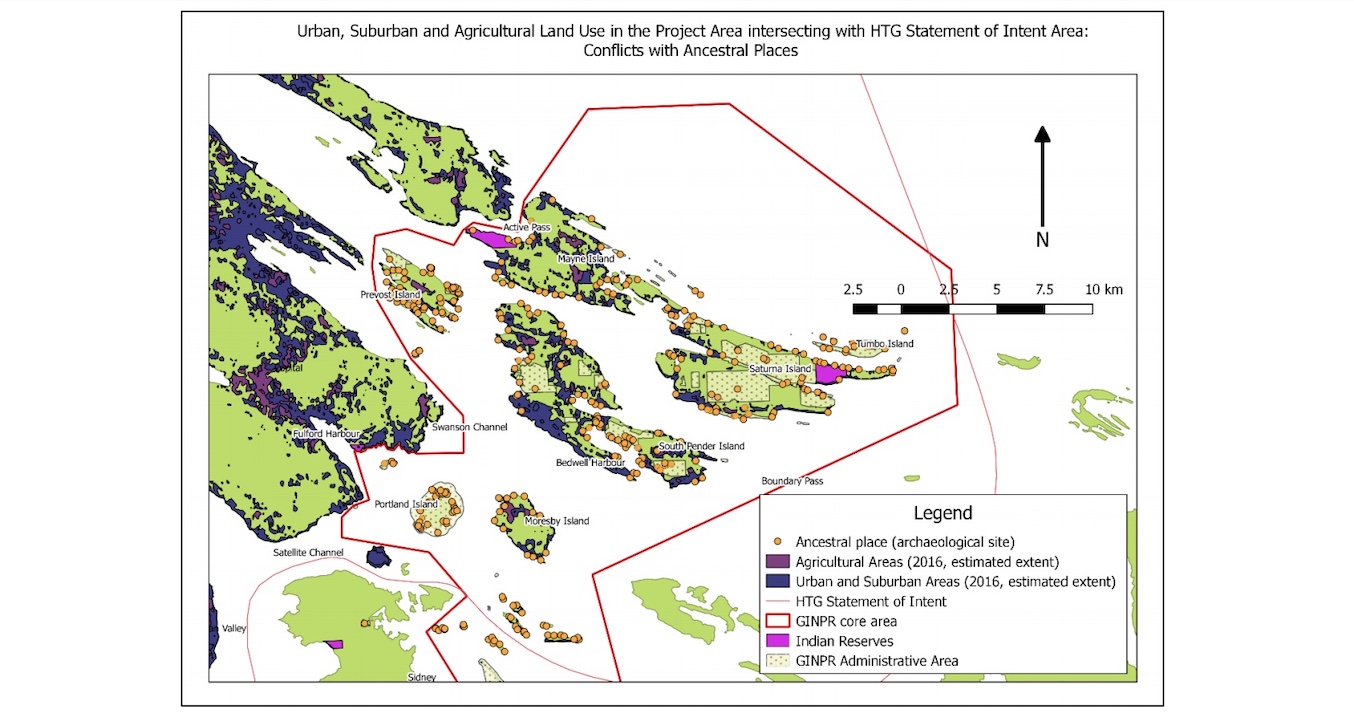
Urban, Suburban and Agricultural Land Use Conflicts with Ancestral Places
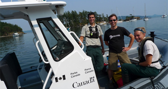
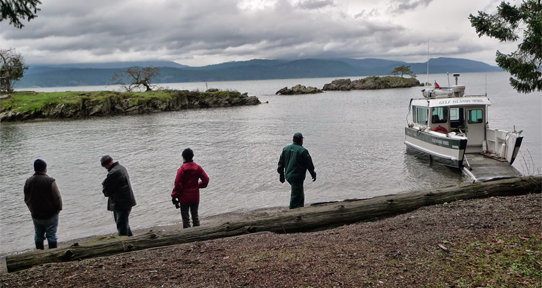
Dr. Brian Thom (centre) of UVic Anthropology’s Ethnographic Mapping Lab working with Parks Canada in the Gulf Islands National Park Reserve.
The Gulf Islands: Re-storying the Landscape Project is an ongoing research collaboration to highlight and document Coast Salish histories of and connections to important places in the Gulf Islands, particularly for areas in the Gulf Islands National Park Reserve.
The project emerged from the HTG Parks Committee identifying the importance of revitalizing Hul’q’umi’num’ language use and place names in the Gulf Islands National Park Reserve, through documenting place names and the stories of these places, and through creating innovative interpretive materials (such as a digital atlas, interpretive brochures or signage) that can be accessed by park visitors and community members.
While the cartographic outputs of this project are held confidentially by First Nations partners, reflections on the process of engaging the re-storying of the Gulf Islands National Park Reserve have are the core of the remarkable Masters' thesis (2017) by Ursula Abramczyk.
Resources
Our collaborations was the subject of a story by UVic's newspaper The Ring (Jan 2018).