Coast Salish cultural landscapes
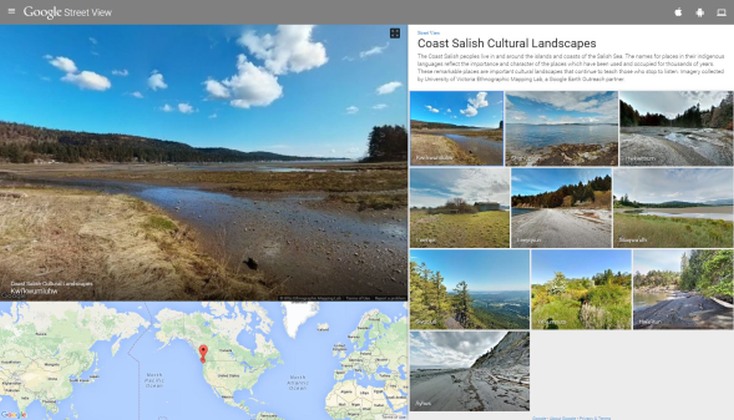
UVic Ethnographic Mapping Lab has created a panoramic photo sphere images of significant, named places which are now featured as "Coast Salish Cultural Landscapes" in Google's curated Street View Gallery. It is an honour to have these Coast Salish place names of important sites profiled alongside UNESCO World Heritage, NASA, the Pyramids and Giza, and other world-class locales. Access to the full Street View Gallery can be viewed by clicking here.
You can also view this gallery in the StreetView app on your mobile device, selecting the Gallery tab, and scrolling to the Coast Salish Cultural Landscapes collection. This collection is no longer maintained by Google.