
 In the media
  Contact us
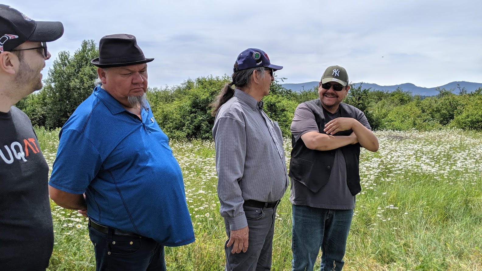
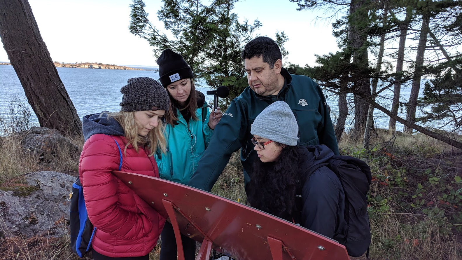
Mapping for and with Indigenous communities
University of Victoria's Ethnographic Mapping Lab is a center for collaborative projects done in partnership with Indigenous communities to support four core themes of land rights, governance, intergenerational knowledge transfer, and public education. Our technology stack is primarily based in specialized use of Google’s Geo tools (Google Earth, Google MyMaps, Google Maps API, Google Earth Engine), with special consideration for their application in support of Indigenous rights. We also use QGIS and have a range of field equipment to support connecting the stories and cultural connections peoples have with place to representation in maps.
Training and Partnerships
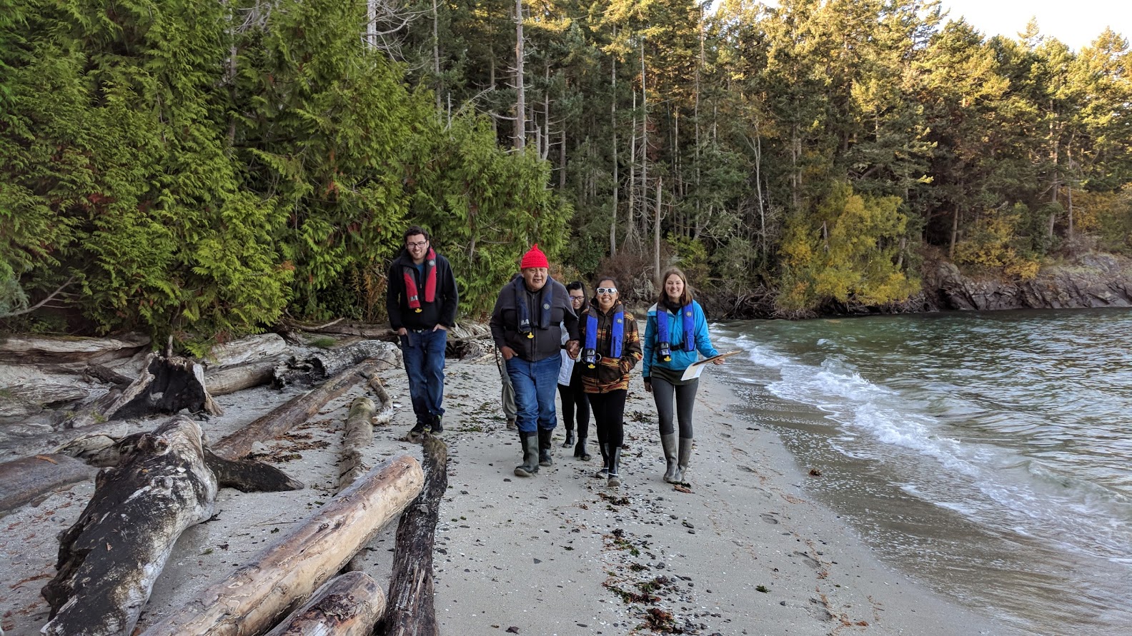
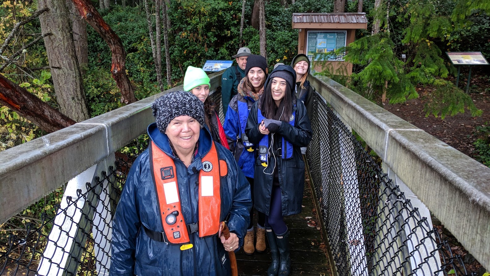
Our lab is grounded in the invited partnerships between Indigenous communities and our faculty, graduate, and undergraduate students. We are careful to align any projects we work on with the scope and scale of work that is possible in the timeframes of the students who have responsibilities for the work. This gives students time for mentorship, and communities a clear understanding that projects move along at a pace reasonable for this kind of experiential learning.
Research Networks
The Ethnographic Mapping Lab is involved in many international research networks connecting our students and scholars with people carrying out this kind of work both locally and globally.