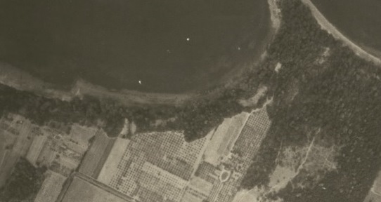
Aerial photography
Maps and GIS has roughly 100,000 air photos of Greater Victoria, most of Vancouver Island, the Lower Mainland and the Queen Charlotte Islands. The photos, in colour and black and white, date from 1926 to 2005, and can be found in scales from 1:5,000 to 1:70,000.
- Use tabs below and/or Finding air photos in the Maps and GIS collection
- UVic Maps and GIS air photo database indicates what UVic Libraries has.
-
- BC Imagery finder
- BC Digital image services
- British Columbia Basemap Online Store (Index for air photos, 1964 onwards only); Order BC air photos
- British Columbia government historic air photo index maps
With any of the above check UVic Libraries Airphotos database to see if we have the photo(s).
- Use Earth Observation Data Management System to find federal airphoto numbers
See also Canada federal government air photo index maps of historic air photos for the Victoria area.
With any of the above check UVic Libraries Airphotos database to see if we have the photo(s).
UVic Libraries Digital airphoto collection
- small collection of digital air photos; high-resolution images are available only to UVic staff and students.
Greater Victoria
- Capital Region District atlas includes orthophotos of Greater Victoria and the Gulf Islands
Satellite, air photo and other remote sensing images and data world
- Canada Centre for Remote Sensing
- Earth Explorer
- LandSatExplorer Use the time function.
- Visible Earth (NASA) - directory of images, visualizations and animations of the Earth
- JSC Digital Image Collection (NASA)
- NASA Image Exchange
- Global Land Cover Facility (U. of Maryland)
For more information,
Contact Maps and GIS or
Geospatial Librarian Daniel Brendle-Moczuk at 250-853-3619.