Map collection

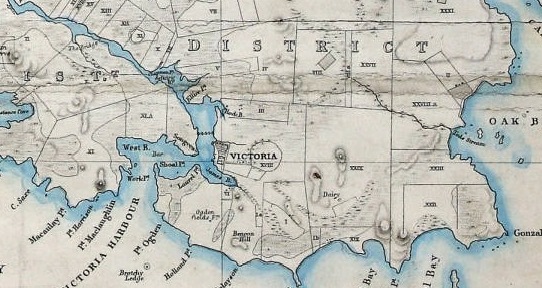
The Maps collection contains over 68,000 paper maps on many themes/topics, including biology, culture, economic, geology, history, hydrography, military, streets, social, topography (including 3-D models), and transportation.
Geographical regions
- Stars, solar system, Moon, World, North America - 3 per cent of collection
- British Columbia, Greater Victoria and Vancouver Island - 21 per cent
- Canada (other) - 29 per cent
- USA (especially Pacific states) - 17 per cent
- Central and South America - 7 per cent
- Europe, Asia (especially Great Britain and Japan) - 15 per cent
- Africa, Australia, NZ, Oceans - 12 per cent
Other collections
Atlases
In addition to maps, we have a large collection of atlases. These include general world, historic, environmental and specialty atlases.
For more information,
Contact Maps and GIS or
Geospatial Librarian Daniel Brendle-Moczuk at 250-853-3619.
