
Stz'uminus Storied Places
View this map in full-screen mode.
Project Overview
Stz’uminus Storied Places is a project that draws on a community-engaged digital-mapping project with Vancouver Island Coast Salish community of the Stz’uminus First Nation. The research project ran from 2013-2017 and introduced a focus on Hul’q’umi’num’ place names and works to bring these place-focused videos into digital maps, so community members can continue to listen to the names and stories via desktop computers, laptops, and, particularly, mobile devices.
The work engaged Stz’uminus youth (involved in Project REEL life sponsored by SFN and Ladysmith Secondary School) in digital story telling and spawned regular outings where Stz’uminus youth recorded HD video of their Elders.
As part of their feature in The Globe and Mail (Jul 2014), Ray Harris and Brian Thom collaborated on the interactive map Boat trip to important Stz'uminus places (featured above). The journalist Justine Hunter won the Jack Webster Award for Digital Journalism for the piece with its interactive map.
the collaboration for the Stz'uminus Storied Places project was covered in the news by The Globe and Mail (July 2014) and in UVic's newspaper The Ring (March 2014).
Objective
The objective of this project is to mobilize traditional knowledge of Stz’uminus territory and place names shared by Elders through a youth-involved, community-based video stories project and, subsequently, a digital map. The outcome of this research will be video stories plotted to an interactive digital atlas, available for use by the Stz’uminus First Nation and, upon review and approval by the Nation, the general public. There will also be an evaluation of which digital mapping platform is preferred on a smart phone interface.
- Collaborative project with Stz'uminus First Nation, with UVic student Amy Becker and Dr. Brian Thom, to create an annotated video-enabled digital atlas of Indigenous place names using Google Maps Engine.
- Indigenous place names on the digital atlas are made available on mobile devices through Google Maps Engine.
Scholarly Outcomes
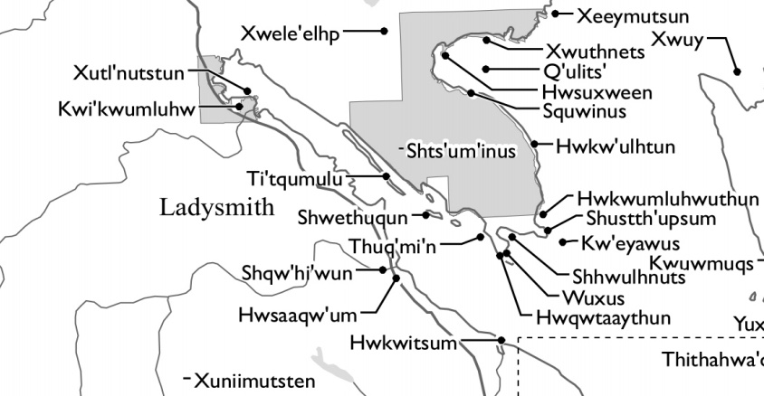
Project Study Area. This map represents a small section of 22 Hul’q’umi’num’ place names in and around two of the Stz’uminus First Nation’s on-reserve communities, Oyster Bay IR12 and Chemainus IR13 (in grey).
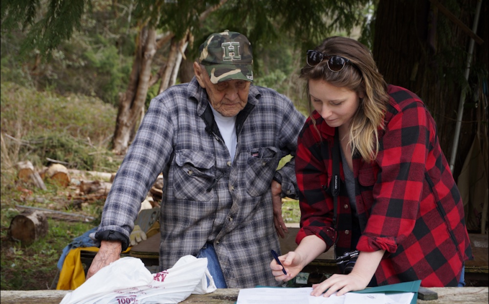
Manny Sampson and Amy Becker review the consent form before his interview on March 13, 2015.
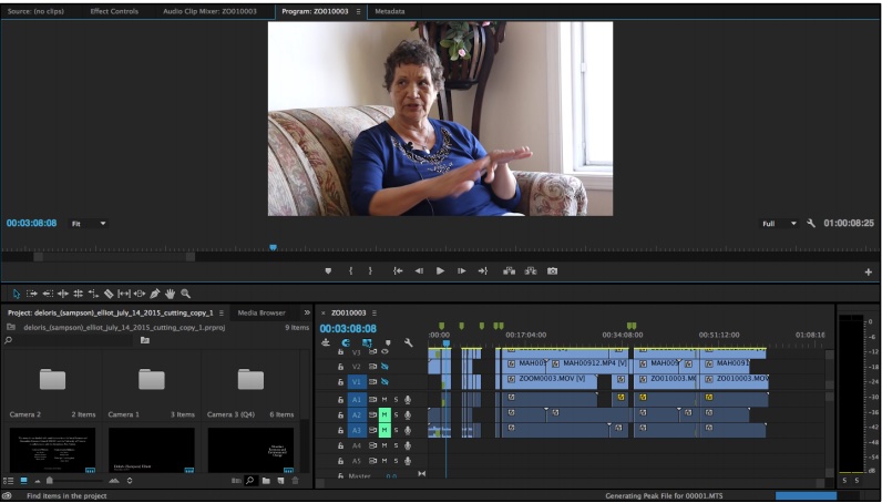
An interview with Delores Sampson Elliott (July 14, 2015) being edited in Adobe Premiere Pro.
Publications from this project include the outstanding Masters' thesis (2018) by Amy Becker https://dspace.library.uvic.ca//handle/1828/9326, and Becker's open source scholarly article in The Arbutus Review https://journals.uvic.ca/index.php/arbutus/article/view/13300
the collaboration for the Stz'uminus Storied Places project was covered in the news by The Globe and Mail (July 2014) and in UVic's newspaper The Ring (March 2014).
Becker’s thesis and publication discuss the ways in which conventional cartographic representations of Indigenous peoples are laden with methodological and visual assumptions that position Indigenous peoples’ perspectives, stories, and experiences within test-, proof-, and boundary-driven legal and Eurocentric contexts. Becker offers this project’s methodology and digital mapping tools as an effort to map a depth of place, the emotional, spiritual, experiential, and kin-based cultural context that is routinely glossed over in conventional mapping practices. She argues that elders’ place-based stories, when recorded on video and embedded in a digital map, produce a space for the “unmappable,” that which cannot, or will not, be expressed within the constructs of a static two-dimensional map.