
Digital Eyes on Dust: Mapping Vegetation in BC’s Reservoirs
July 21, 2025
Hydroelectricity plays a central role in British Columbia’s energy supply, accounting for nearly 90% of the province’s electricity production. However, the creation of hydroelectric reservoirs often comes at a steep environmental cost. Flooding valleys to create reservoirs strips away native vegetation, exposing large areas of sediment. When water levels drop, particularly during dry seasons, these exposed sediments become susceptible to wind erosion, resulting in dust storms that threaten air quality and human health.
To address this issue, BC Hydro and other stakeholders have begun planting low-lying grasses on reservoir beaches to stabilize sediment and reduce dust emissions. But assessing the effectiveness of these restoration efforts across vast and frequently changing landscapes is a major challenge. A new study led by researchers from UVic’s Department of Geography and the SURREAL Lab investigates how drone technology can be used to monitor vegetation growth and optimize dust storm mitigation efforts on reservoir shorelines.
Comparing LiDAR and Photogrammetry for Grass Detection
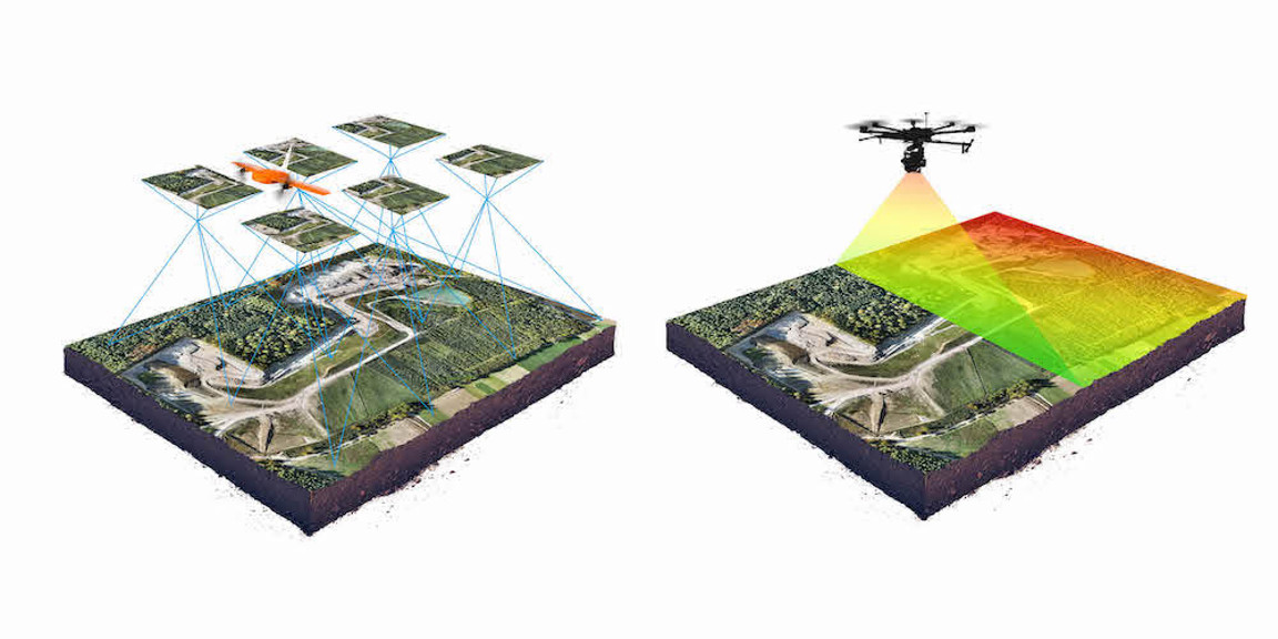
The research team — which included UVic Geography chair Chris Bone alongside staff member Roger Stephen and graduate students Gillian Voss and Jason Kelley — conducted a series of test flights over a large beach along the Williston Reservoir in northern BC, one of the province’s most dust-prone hydroelectric sites. Their objective was to compare two drone-based remote sensing techniques—LiDAR and photogrammetry (shown below)—for their ability to detect and classify newly introduced grasses.
LiDAR uses laser pulses to create three-dimensional terrain models, while photogrammetry relies on high-resolution aerial imagery to capture surface details. The team tested both methods under different flight conditions, varying altitude, speed, and image overlap to determine which combinations yielded the most accurate vegetation classifications.
The findings showed a clear advantage for low-altitude photogrammetry, which achieved an accuracy of 98.5% in identifying small, 5–10 cm grasses. In contrast, even the best-performing LiDAR flight reached only 55.5% accuracy. The photogrammetry data proved more effective because the grasses were too small to be reliably detected by LiDAR’s elevation-based approach, but their colour and texture stood out in high-resolution imagery.
Implications for Restoration and Environmental Monitoring
These results have broad implications for restoration and environmental monitoring, both within hydroelectric landscapes and beyond. From mine reclamation sites to sand dune stabilization projects, accurately mapping vegetation is crucial to evaluating the success of ecological interventions.
Importantly, the study also emphasizes the role of flight parameters in determining data quality. The researchers found that the altitude of the flight was the most impactful parameter for improving the quality of the results for both photogrammetry and LiDAR, whcih may suggest that future UAV missions should prioritize resolution over speed or coverage when monitoring short vegetation.
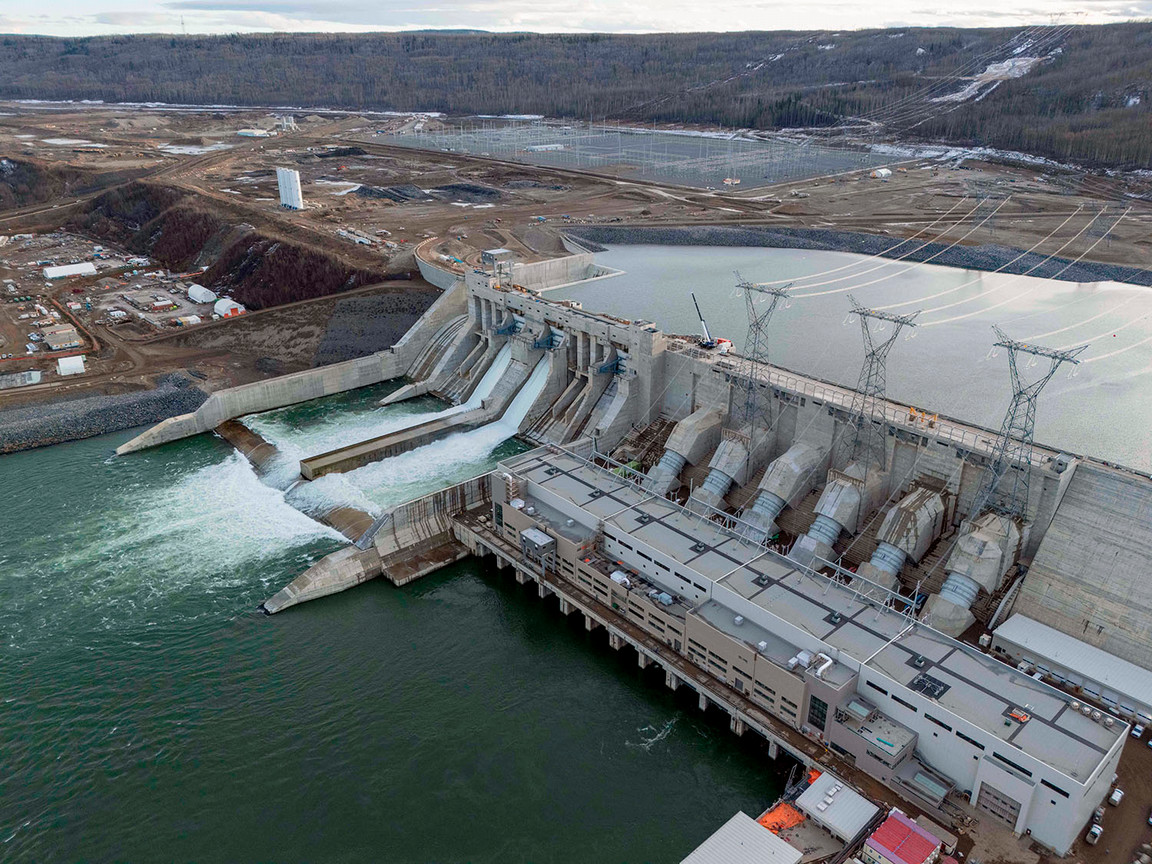
As hydroelectric development continues in BC, most notably with the upcoming launch of the Site C Dam in Peace River (cover photo), tools like UAV-based monitoring will become increasingly valuable for balancing infrastructure needs with environmental and public health.