Coastal climate crunch: BC beaches could be battered by both El Niño and La Niña
- Anne MacLaurin

Pacific research shows that extreme weather patterns—both hot and cold—could mean accelerated erosion in BC.
As storm season approaches, BC coastal communities need to prepare for the possibility of extreme flooding and erosion that come with both El Niño and La Niña weather systems, according to new trans-Pacific research published in Nature Geoscience.
This is the first study to show how these climate variability events are linked to greater erosion and flooding in coastal regions across the Pacific Ocean. Researchers from 13 different institutions including the University of Victoria analyzed wave, water level and shoreline response data to identify the impacts of both El Niño and La Niña on coastal flooding and erosion, including in BC.
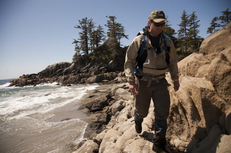
“It's not just El Niño we should be concerned about,” says Ian Walker, UVic geography professor and co-author of the study. “Our research shows that severe coastal erosion and flooding can occur along the BC coast during both El Niño and La Niña storm seasons, unlike further south in California. We need to prepare not only for this winter, but also for what could follow when La Niña comes.”
UVic is a national and international leader in the study of the oceans and climate. Walker, whose research has taken him all along the west coast from Haida Gwaii to California, is an expert in beach and dune systems, dune restoration, coastal erosion and sea level trends.
The impact of these storms is not presently included in most studies on future coastal vulnerability, which look primarily at sea level rise. New research data, from 48 beaches across three continents and five countries bordering the Pacific Ocean, suggest the predicted increase will exacerbate coastal erosion irrespective of sea level rise affecting the region.
Researchers from 13 different institutions, including the U.S. Geological Survey, University of Sydney, the University of New South Wales and the University of Waikato (New Zealand) analyzed coastal data from across the Pacific Ocean basin from 1979 to 2012. The scientists sought to determine if patterns in coastal change could be connected to major climate cycles. Data came from beaches in the mainland United States and Canada, Japan, Australia, New Zealand and Hawaii.
“Shoreline behavior can be controlled by so many different factors, both locally and regionally, that it’s been difficult to isolate the signal until now. However, utilizing the many years of data we were able pull together in this study enabled us to definitively identify how the major climate drivers affect coastal hazards across the Pacific,” said Patrick Barnard, USGS coastal geologist and the lead author of the study. “This will greatly enhance our ability to predict the broader impacts of climate change at the coast.”


