Indigenous Mapping Workshop: Q&A with Brian Thom
- Anne MacLaurin
Indigenous communities across Canada are engaged in intensively mapping their lands, waters, resources and knowledge. These maps have unparalleled importance today not only for future generations celebrating Indigenous knowledge, but in discussions over land and resource development and the recognition of Indigenous rights.
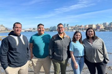
The University of Victoria is continuing its leadership with collaborative Indigenous mapping research by bringing together more than 100 representatives from Indigenous organizations across Canada for a four-day intensive workshop beginning Aug. 25.
"This workshop connects Indigenous communities from across Canada who are using sophisticated mapping technologies to assert Aboriginal title and treaty rights, and to celebrate cultural knowledge about the land," says Brian Thom, assistant professor of anthropology and co-organizer of the workshop.
Thom first came to UVic in 2010 after 13 years as a researcher and negotiator for several First Nations in the BC Treaty process. He established UVic's Ethnographic Mapping Lab, which provides a collaborative space for research with Indigenous communities about traditional use sites, cultural sites and place names using leading digital technologies.
The national Indigenous mapping workshop brings together community practitioners, not just academics, for a hands-on enriching experience with Google Earth technologies.
View images of maps created by researchers working in UVic's Ethnographic Mapping Lab.
The Indigenous Mapping workshop is co-hosted by University of Victoria (Ethnographic Mapping Lab of the Department of Anthropology), The Union of British Columbia Indian Chiefs, The Firelight Group and Google Earth Outreach.
Q&A with Brian Thom
Why a conference about Indigenous mapping? Why at UVic?
"Before software like Google Earth, it took someone with considerable computer skills and training in using GIS or programing to create digital maps and databases. Now, anyone, literally, can use the freely available tools like Google Earth to make impactful maps. Though many Indigenous communities have long embraced GIS technology, it is empowering for these freely available tools to be used to map their territories.
"UVic has a new ethnographic mapping lab (established in 2010) which supports training and innovation in this kind of work, and has a longstanding philosophy of collaborative and community-based research. It was an honour for UVic to partner co-host a workshop for Indigenous communities engaged in mapping."
How are the maps Indigenous communities are making being used in powerful ways?
"There are three themes in this workshop:
1) inter-generational: mapping provides a remarkable moment for the cross-over of knowledge between elders who are keen to share and youth who are interested in using technology like mobile devices and cloud-based computing.
2) Aboriginal and Treaty Rights: maps are used in the consultation process with government about resource development such as forestry, mining, pipelines. Aboriginal communities across Canada are producing remarkably powerful maps and bringing them to the negotiation table during treaty and land claim talks.
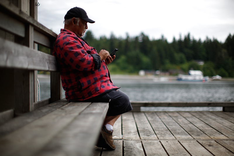
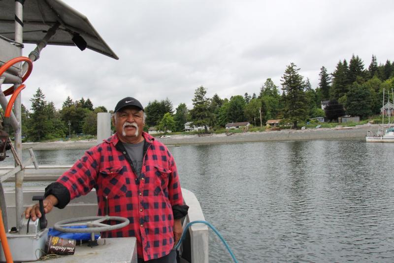
3) resource management: Indigenous communities are doing their own environmental monitoring and including the data they generate onto important environmental assessment processes (taking their mobile devices out into their territories and recording information about wildlife, etc.). Indigenous communities are using powerful scientific monitoring techniques to complement and document their knowledge and experience of their lands and resources."
Who is attending?
"Representatives from over 100 Indigenous organizations and their research partners from across Canada will come together to share their experiences with Indigenous mapping and learn cutting edge Google Earth technologies. For example, the Hul'qumi'num Treaty Group, Haisla Nation Council, Lower Nicola Indian Band, Chippewas of Georgina Island, St&o#180;:lÅ Nation, Treaty 8 Tribal Association . . . . And the list goes on."
What will they learn?
"The four-day workshop has been broken down into two sections: the first two days will be about information sharing, best practices and innovations. The First Nations communities will have an opportunity to learn from the amazing work each other has done. The second half of the workshop will be led by Google engineers-we are calling it the 'deep dive.' Participants will be shown how to use Google Earth and related software to conduct field interviews and create powerful maps that can be shared.
"Also of great interest to participants will be the 'tools for environmental monitoring' session, which will involve training on collecting geospatial information about the natural world while in the field and sync it to a map, using Android mobile devices with the Open Data Kit tool suite, and Google's powerful new Earth Engine."
Hope for the future when they leave the conference?
"What is most exciting about this workshop is the number of Aboriginal communities who will have the opportunity to work outside the usual silos that get created by distance and funding, to share their mapping experiences; a sharing of ideas will generate inspiration for more powerful maps.
"These Indigenous mapping projects are like a movement and a cultural revitalization, and at the heart of this movement is the land."
Photos
In this story
Keywords: Indigenous, mapping, human rights