Urban data critical
UVic is helping to develop richer databases for more accurate climate modelling
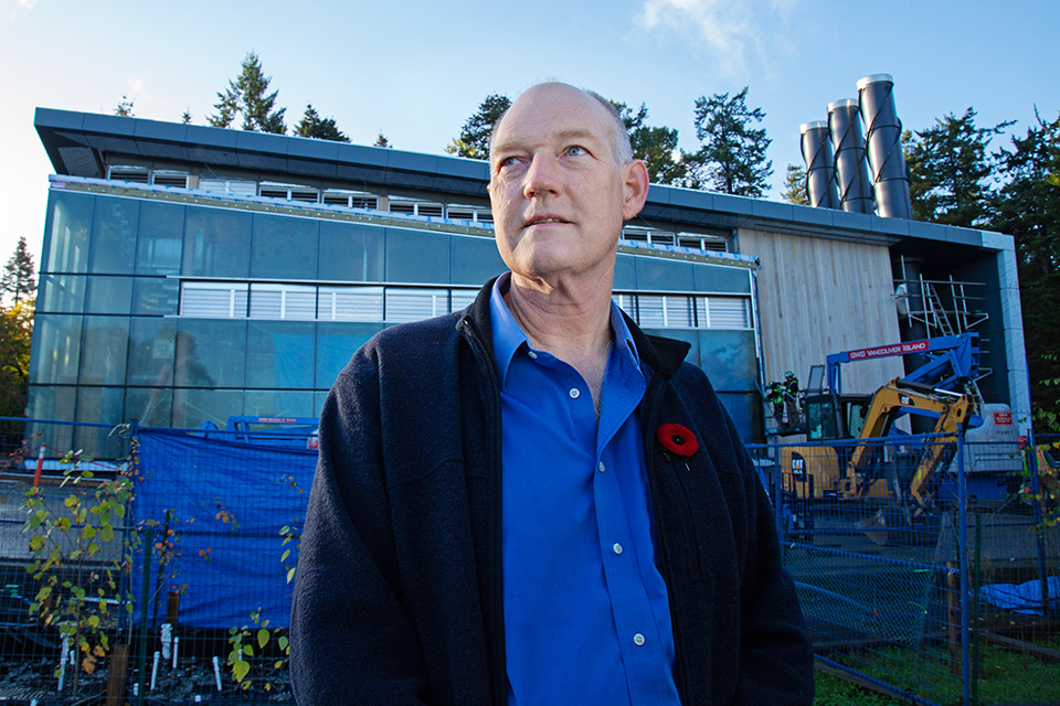
by Patty Pitts
UVic geography professor Johan Feddema’s life-long academic interest in the interactions between human activity and the earth’s surface and climate didn’t start in a lab but in a graveyard. During a University of Delaware graduate course examining the degree of deterioration of different tombstones, Feddema embarked on his own study—scrutinizing the condition of marble grave markers in Philadelphia and surrounding cities.
At the time deterioration was attributed to acid rain, but when Feddema combined his data with existing data on prevailing winds he discovered a pattern. The worst damage wasn’t in tombstones downwind of the city, but in its industrial core, caused by sulphuric dioxide diffusing into the marble and reacting with the rain to become sulphides that ate away at the stone.
The discovery was noticed in North America and as far away as Europe, where much older statues and monuments were suffering a similar fate. Feddema realized that without incorporating localized data, especially in urban areas, climate model simulations can be inaccurate and yield misleading results.
“Urban issues are rapidly moving to the forefront of challenges posed by climate change,” says Feddema, who came to UVic three years ago to chair its geography department. “We need to better understand interactions between global-scale climate change and local climate change.”
To do that, Feddema is working with other researchers in the US and around the world to develop richer databases with an emphasis on urban areas so simulations on climate models produce more accurate results to help an increasingly urbanized society mitigate and adapt to climate change.
Today’s sophisticated and powerful models give researchers the capacity to introduce very specific influences and then wait for the sometimes unexpected results.
“We’ve started to look at how building materials would impact energy consumption and human health in what we call ‘urban heat islands’ around the world,” says Feddema. “In one model we entered the variable ‘90 per cent reflection’—the equivalent of painting roofs white—to reflect heat in urban areas. But we didn’t save energy on a global scale since most of the world does not have air conditioners to turn off. And in a cold climate, white roofs mean less heat absorption and increased heating costs.”
To advance the model further the World Urban Database and Access Portal Tools is using crowdsourcing to collect global data on air conditioner and thermostat use. Even a discrepancy of a few degrees can make a big difference in energy use. “Richer economies think less about the cost of energy consumption. Other cultures are more energy aware,” says Feddema. “If you want to understand how people affect the climate you need to study where they live.”
Feddema and his colleagues hope to do just that by expanding their research to include global comparisons of roof structures in tropical areas and lightweight but heavily insulated walls and roofs with traditional construction. They also want to measure the impact of reflective road surfaces and replacing regular windows with triple-pane glass.
“Simulating human activities in climate models is inherently different from simulating natural processes governed by the natural laws controlling chemical, biological, physical and dynamic processes,” says Feddema. But by combining the power of some of the world’s biggest computers and a global population’s willingness to submit data, even a factor as small as a thermostat adjustment can contribute to a better and more accurate awareness of humankind’s impact on climate.
By 2050 up to 75 per cent of the world’s population is projected to live in cities (UN 2014), increasing the need to develop ever-more-powerful computer models to simulate the impact of human activity in urban areas on the Earth’s climate.
Developing and running global climate models is one of the most computer-intensive applications in the world, says Feddema. Running an update on a current model simulating the world’s climate from 1870 to 2100 requires three to six months on some of the world’s biggest computers.
The UVic-based Canadian Centre for Climate Modeling and Analysis (CCCMA), a section of the federal government’s Climate Research Division, is a participant in this modeling community, contributing atmospheric and land-use data. The CCCMA develops and applies computer models of the climate system to simulate global and Canadian climate, and to predict changes on seasonal to centennial timescales. UVic’s Pacific Climate Impacts Consortium and Pacific Institute for Climate Solutions contribute by providing detailed information for climate change adaption and mitigation.
Like many researchers, Feddema uses data from NASA’s Landsat program which provides the longest continual global record of the Earth’s surface. This satellite imagery information has been available to everyone since 1972. View a stunning short video of Landsat images ranging from Canada’s oil sands to the Mt. St. Helen’s eruption visit.