Grad's mapping tool on track to save lives, skies and forests
- Patty Pitts
Co-op work term leads to a new tool for teams of parachute-based firefighters
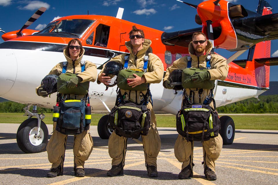
When UVic geography grad Patrick Robinson parachutes into BC’s remote backcountry to fight forest fires in the summer, he’ll be packing a valuable piece of equipment—his smartphone. The new mapping app Robinson developed during a co-op work term with GeoBC will give him and his fellow “smoke jumpers” more information than ever before about the fire they’re attacking—making their work more efficient and potentially safer.
Recently graduated Robinson worked seasonal fire-fighting contracts throughout his undergraduate studies. He saw an opportunity to improve the capabilities of existing wildfire-related geographic information systems (GIS) and mapping tools. They provided basic, static maps, but after landing in remote areas under tree canopies blocking satellite data, and in areas without cellphone service, the firefighters sometimes had difficulty navigating and gaining situational awareness of the areas around the fires they were sent to fight.
“My crew of three is sent out on short notice to put out small fires before they grow in the middle of nowhere,” says Robinson from his current base in Mackenzie. “Usually there are no formal maps and no system to have access to any kind of maps for initial attack firefighters.”
When he applied for a co-op work term with GeoBC, the BC Ministry of Forests’ mapping division, Robinson was very clear on what he wanted to accomplish.
“I wanted to produce something to provide better maps to bring back to the people who fight the fires.”
Robinson’s timing was perfect. His GeoBC coop supervisor, Steeve Deschenes, who’s also a UVic geography grad, suggested Robinson expand the capability of the ministry’s GIS technology.
“The provincial government is a big organization,” admits Deschenes. “Sometimes it’s difficult to get an application into practice. Patrick was very proactive in seeing its potential, designing and building his app, and getting it approved.”
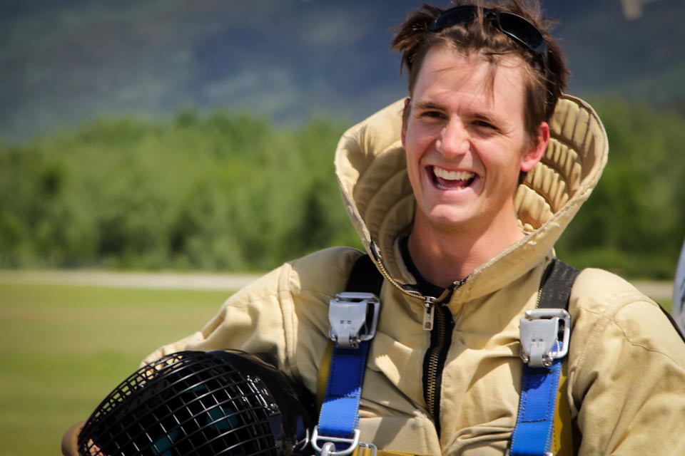 Robinson. Photo Credit: Russ Hepburn
Firefighters like Robinson have to move fast when word of a new fire arrives. “We only have minutes to access maps and any new information about the fire we’re attacking since we’re in the air within 15 to 30 minutes after callout.” Firefighters were unable to save and store the valuable aerial information spotted from their fixed wing aircraft but that has changed with Robinson’s new application.
“Now we can add data from the air. I can draw it by hand on my mobile device. We have high-resolution info on where to land, where to store cargo, where there is high or low fire fuel concentrations, safety zones and water sources. It improves our fire attack plans, efficiency and safety.”
When one crew returns to connectivity, all the GPS data they’ve collected on the fire is shared with the next crews dispatched to the same area.
“I’d already done some work on the remote sensing of fires and aerial data collection,” says Robinson. “Then I used the technical skills I learned at UVic and came up with a product we could use on the ground.”
Robinson’s instructor and geography supervisor Chris Bone calls his student’s work “probably one of the most innovative undergraduate projects I’ve ever seen. They’re flying in at 1,500 feet and can input very detailed info.”
It’s the simplicity of what he proposed—taking an existing tool and utilizing it in a way that hasn’t been thought of before.
—UVic geography grad Patrick Robinson
Deschenes says Robinson’s combination of academic expertise and background in firefighting was a big factor in taking his project from a proposal to utilization. He only had two days between finishing his work term at GeoBC and heading up country to fight fires.
“It was a very great experience to supervise Patrick,” says Deschenes. “He was the first firefighter that I worked with and having that background and connections was very important in developing and approving the application.”
A former co-op student himself, Deschenes is an enthusiastic supporter of the program that permits UVic students to alternate their studies with paid work terms. “I wouldn’t be here without that co-op experience. It allows you as a student to take risks. It gives you the confidence to make mistakes and learn and do the work.”
The 15 parattack crews operating out of Mackenzie and Fort St. John will all be testing the app this summer, says Robinson. Then following a summary report on its effectiveness, “there’s a good chance it will roll out on a bigger scale next year.”
Next up: mapping wildfire fuels in northern forests
Robinson's next steps include pursuing a master’s in forestry at the University of Northern BC, where he plans to map wildfire fuels and develop climate adaptation fuel management plans in collaboration with the Lilloet/Xaxli’p First Nations. His aim is to use data from LiDAR—a remote sensing technology that can produce detailed 3D models of surface structure—to estimate forest mass.
Robinson says his future research will draw on his experience from UVic co-op work terms in Haida Gwaii with the forest service and GeoBC, and he hopes his work eventually contribute towards better wildfire and emergency management mapping. His post-graduate work also involves his interest in fostering reconciliation.
Photos
In this story
Keywords: convocation, geography, forestry, co-op, mapping
People: Patrick Robinson, Chris Bone, Steeve Deschenes
Publication: The Ring