Mapping Access: digital map project highlights campus facilities
- Krista Boehnert
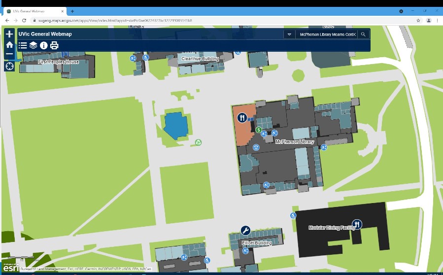
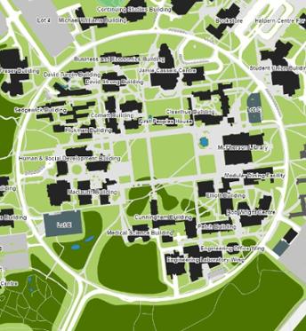
For new and frequent campus visitors alike, UVic’s interactive digital map is a treasure trove of information. While most will be familiar with the basics – finding a particular building or figuring out where parking lot #4 is, the joint project undertaken by the Department of Geography and Facilities Management is so much more than that.
We’re always looking for ways to make campus facilities as welcoming and convenient as possible. Our department wanted a way to increase awareness with our community about accessible building features on campus. While we have building layouts at each of our locations, we wanted a resource people could access from anywhere to see what is available.—Ron Proulx, executive director, Facilities Management.
The department’s goal led to the development of a mobile friendly, interactive digital map for campus that provides detailed information on all its facilities. The map includes everything from EV charging stations to ATMs to recycling receptacles. But, what if your search for information goes beyond finding a specific building or what to do with your coffee cup? What if you are looking for specific building features?
“We developed an accessibility layer to the map to help easily identify building facilities on campus, such as ramps and elevators. Students rely on these features, and being able to provide a tool to easily discover them was very important to us,” says Laurie Keenan, director at the Centre for Accessible Learning, who was part of the team who developed the accessibility layer for the webmap.
The accessibility layer allows map users to discover a wide variety of facilities information from the location of building elevators and ramps, to wheelchair accessible washroom facilities, designated parking stalls and TTY phone locations.
One of the biggest advantages to this mapping project is the ability to add layers to the map, based on your information need. When activated, the accessibility layer shows small icons displaying the particular feature at its precise location within a building.—Jessica Fitterer, project manager and geography instructor
Whether on computer, tablet or smartphone the new map feature takes the guesswork out of finding accessible facilities on campus.
“We hope the map is not only useful to those who are looking for accessibility information for their daily use, but will also help raise awareness amongst our entire campus community,” says Proulx.
Access UVic’s interactive, mobile friendly map.
Photos