BikeMaps.org spins success across the globe
- Anne MacLaurin
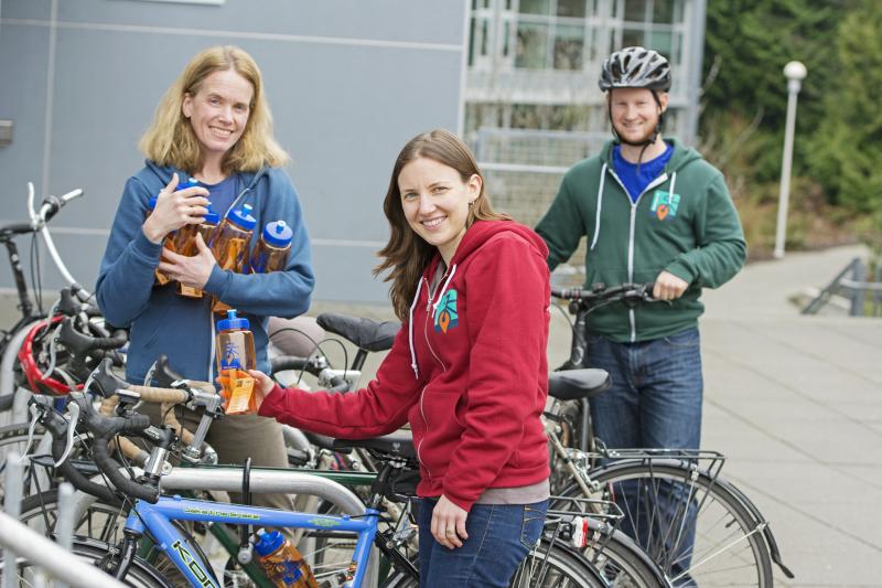
Victoria is a cycling city with more people taking to the bike paths each day—good news for the environment and for BikeMaps.org, a project lead by UVic geography professor Dr. Trisalyn Nelson and a team of researchers in UVic geography.
“My initial idea was to build a website where cyclists could humorously vent about bad interactions with vehicles, other bikes, pedestrians and, yes, urban deer,” says Nelson. “I started planning the project and I quickly realized it wasn’t funny. The available data on cycling safety is abysmal.”
“With only 30 to 40 per cent of cycling crash data captured by traditional data sources, BikeMaps.org represents an important effort to fill data and information gaps,” says Nelson.
Nelson and the geography Spatial Pattern and Analysis Research (SPAR) Lab officially launched the web-map last October to find hot spots of safe and risky cycling in the Capital Regional District. Cyclists can record bike crashes, near misses, hazards and thefts in the region. According to Nelson, the data citizens provide to BikeMaps.org will enable researchers and planners to better determine where and when safety is a problem and to monitor changes in safety over time.
Since its launch, Bikemaps.org has attracted over 16,000 website visitors and 670 submissions, with 45 per cent of mapping coming from the CRD. This is a huge success, says Nelson. “Citizens have already used BikeMaps.org to double the amount of annual data available for safe cycling planning and research.”
The one surprise has been the global uptake of BikeMaps.org with 14 countries now engaged with mapping bike incidents—which has resulted in a number of connections being made, specifically in Brisbane, Australia.
“We are putting efforts into outreach in Vancouver and we are starting to see uptake of citizens there,” says Nelson. “And a number of connections have also been made internationally. A sustainability transportation group from Brisbane reached out almost immediately after we launched the site. A group from the Netherlands has recently expressed interest.”
Future plans for BikeMaps.org include new and existing support from partners such as NSERC (Natural Sciences and Engineering Research Council), CAA (Canadian Automobile Association) and the CRD, as well as Mitacs. Nelson says they will be launching a mobile app due to a partnership with Mitacs and CAA. And it appears that governments are starting to ask how to access the data, which means better cycling planning and paths for the city. Nelson points out that the City of Victoria and CRD are both very receptive to the BikeMaps.org initiative.
In an opinion piece for the Saanich News Nelson wrote, “the CRD has developed a Pedestrian and Cycling Master Plan with goals of increasing cycling to 15 per cent of trips regionally and 25 per cent in urban areas by 2038. The CRD’s plan requires dramatic action to increase ridership from a long-term trend near three per cent.”
And new tools like BikeMaps.org can help make that larger social change a bit safer.
Stats since BikeMaps.org launch include 670 submissions including 152 collisions, 254 near-misses, 192 hazards and 72 thefts.
Add your experience on BikeMaps.org, or watch for new results from analysis on twitter @BikeMapsTeam.
Photos