Changing coasts, mapped by kites and balloons
- Anne MacLaurin
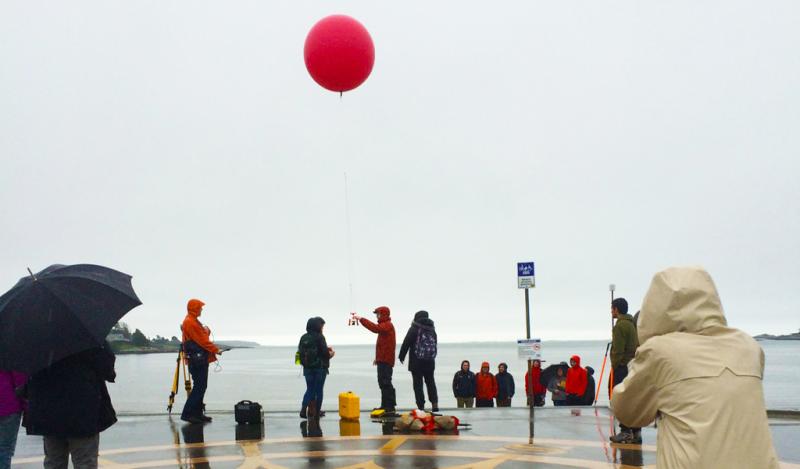
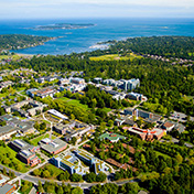
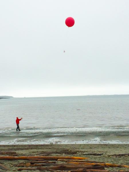
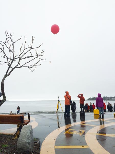
Heavy rain did not deter 25 undergraduate geography students from their hands-on learning course on beach dynamics and coastal erosion this February. Using new digital mapping technologies including terrestrial laser scanning (ground based LiDAR), unmanned aerial vehicles (UAVs), kites and balloons, the students captured high-resolution imagery of Cadboro Beach.
The course—GEOG476 Advanced Studies in Geomorphology: Geomorphic Applications of Ultra-high Resolution Remote Sensing Technology— was co-developed by instructor and PhD candidate Michael Grilliot, alongside geography professor Ian Walker who leads the Coastal Erosion Dune Dynamics Lab at UVic.
“It’s very exciting that students can collect cheap yet accurate air photos using kites and balloons,” says Grilliot. “Normally, collecting this data would cost hundreds if not thousands of dollars, but kite and balloon mapping is becoming increasing popular in geomorphological research”
“We are interested in mapping beaches around greater Victoria with these methods and repeating this annually so as to provide foundational datasets (airphotos, digital elevation models) that municipalities can use to assess beach dynamics, erosion or flood risks, infrastructure vulnerability, etc.,” says Walker.
“The students are involved in hands-on field data acquisition at local beaches to measure beach change and coastal erosion,” says Walker. “This is a big year for our beaches with this El Nino,” adds Walker, “and the students will be capturing these physical changes in their project work.”
The topics the students are currently leaning towards include coastal dune restoration monitoring (near Tofino, BC); grain-size classification in a fluvial environment using terrestrial lidar; and coastal erosion monitoring at Dallas Rd. bluffs (west of Clover Point).
Grilliot goes on to explain, while each project is very different, they mostly focus on assessing how effective these technologies (LiDAR, UAVs, kite mapping, balloon mapping) are at various tasks—i.e. monitoring dune restoration progress, assessing coastal erosion, and the feasibility of using historical air photos to measure beach profile changes.
This semester’s students are also laying the groundwork for a longer monitoring period of beaches around the Victoria area. Future courses will be able to use these technologies to continue monitoring the coast around Victoria.
Photos
In this story
Keywords: community, mapping, student life, research, geography, graduate research
People: Ian Walker